Produkty
menu item
Prospect
Odhadnite solárny potenciál vašej lokality
menu item
Evaluate
Time Series a TMY dáta pre optimálny dizajn elektrárne
menu item
Monitor
Hodnotenie fotovoltického výstupu v reálnom čase
menu item
Forecast
Predpoveď výroby solárnej energie na až 14 dní
menu item
Analyst
Spravujte všetky solárne dáta na jednom mieste
menu item
Integrácie
Automatizujte dodávku Solargis dát
Príklady použitia
menu item
Výber lokality
Nájdite správnu lokalitu pre váš solárny projekt
menu item
Simulácia energetického výnosu
Analyzujte potenciálne zisky a riziká
menu item
Optimalizácia návrhu elektrárne
Nájdite optimálny dizajn pre vašu solárnu elektráreň
menu item
Skutočný výkon elektrárne
Poznajte skutočný výnos vašej elektrárne
menu item
Predpoveď výkonu
Predpovedajte výnos z vášho solárneho projektu
menu item
Overenie pozemných dát
Overte si kvalitu solárnych a meteo meraní
Hodnotenie solárneho zdroja a meteorologických dát
Detailné hodnotenie a validácia solárneho zdroja
Prispôsobenie modelov Solargis lokalite
Kombinácia satelitných dát s lokálnymi meraniami
Kontrola kvality solárnych a meteorologických meraní
Oprava chýb v dátach z pozemných meraní
GIS dáta na mieru
Solargis GIS dáta prispôsobené pre vaše aplikácie
Posúdenie energetického výnosu z fotovoltiky
Odhadnite neistotu vstupných dát
Hodnotenie výkonu fotovoltiky
Odhad energie pre refinancovanie alebo akvizíciu
Štúdia PV variability a optimalizácie skladovania energie
Pochopte variabilitu výstupu naprieč regiónmi
Regionálna štúdia potenciálu solárnej energie
Identifikácia lokalít pre solárne elektrárne
Naša expertíza
Ako naša technológia funguje?
Metodológia
Ako preklápame vedu do technológie?
API & integrácia
Ako integrovať Solargis dáta cez API
Príručky a dokumentácia
Release notes
Príbehy klientov
Blog
Ebooky
Webináre
Publikácie
Udalosti
Bezplatné mapy a GIS dáta
Mapy solárneho výkonu
O spoločnosti Solargis
Partneri
ISO certifikáty
Kariéra

Táto stránka zatiaľ nie je preložená do slovenčiny. Pozrieť si ju môžete v angličtine.

Site-specific solar irradiance with sub-hourly granularity#

Use the finest data available for building sound financial plans. Evaluate’s data service is always ready to provide accurate irradiance inputs for your project sites.

All three solar irradiance components are provided with Evaluate datasets. Global Horizontal Irradiance as a primary from satellite-based solar models subsequently decomposed into Diffuse and Direct irradiance.

See all parameters ->

Irradiance data

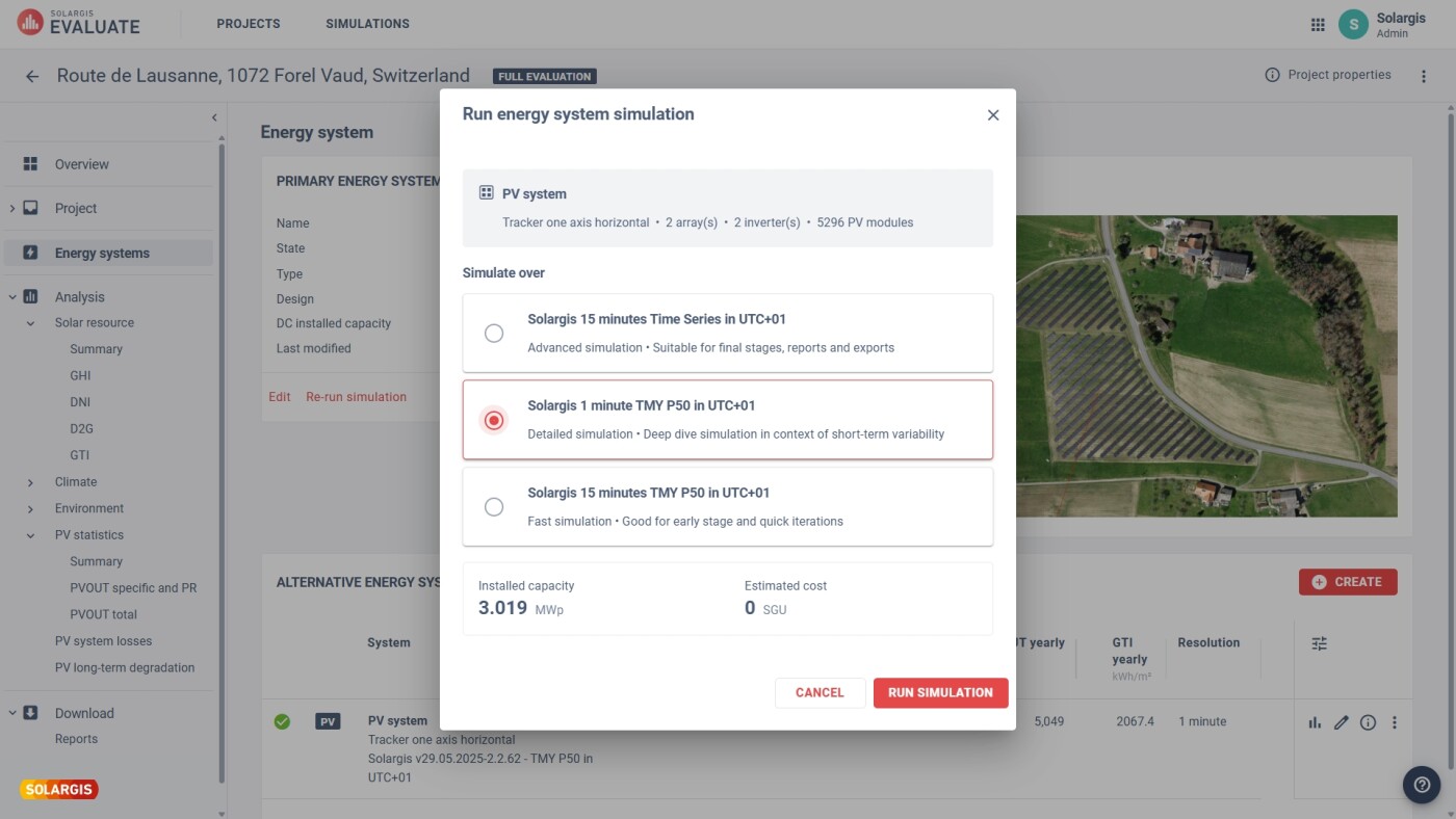
Evaluate uses the finest granularity given by remote-sensing devices on board satellites. This means that the service is able to provide irradiance data streams on resolutions of 10 to 30 minutes, depending on the satellite covering the site of interest.

Subhourly time resolution

Along with irradiance data, Evaluate calculates the energy collected on the plane of the PV modules, known as Global Tilted Irradiance (GTI) or Plane of Array (POA).

See all parameters ->

Tilted irradiance

Evaluate service also has the capability to increase the temporal resolution from the native satellite resolution (i.e. 5, 10, 15, or 30 minutes) to 1-minute time step through probability data distributions. Although it does not represent the actual variation of solar radiation minute by minute, it helps understand the expected irradiance variability patterns for a particular site.

More about 1-minute data generation ->

1 min data generation

Evaluate can provide data for any site covered by current weather observation geostationary satellites. That means all the globe is covered except very high latitudes close to polar areas.

Service available globally

Full collection of meteo parameters included#

Get all parameters with effect on technology’s choice, design, and final yield. Evaluate’s data service incorporated all necessary inputs for all kinds of studies and simulations.

Evaluate provides Air temperature and wind data using the most accurate weather models available. These parameters can significantly impact the performance: while high temperatures can lead to a decrease in the efficiency of PV modules, wind can help cool the modules, enhancing their performance (TEMP, WS).

See all parameters ->

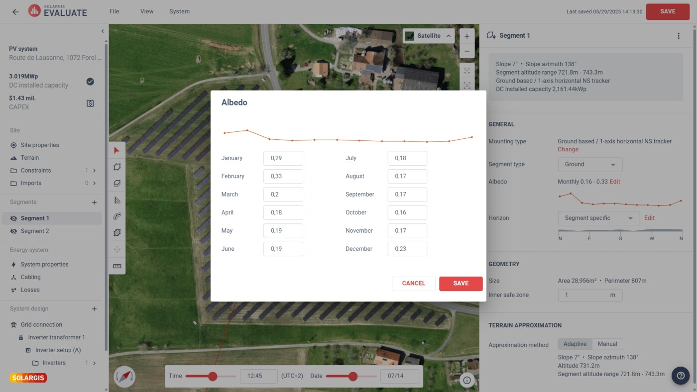
The albedo of the ground affects the amount of sunlight that reaches the modules, particularly in utility-scale solar installations where the spacing between modules allows sunlight to reach the ground and bifacial technology is placed (ALB).

See all parameters ->

Bifacial irradiance gains

To calculate solar power plant’s response in detail, other second-order meteorological factors like relative humidity, precipitable water, or atmospheric pressure are also included in Evaluate’s datasets (RH, PWAT, AP).

See all parameters ->

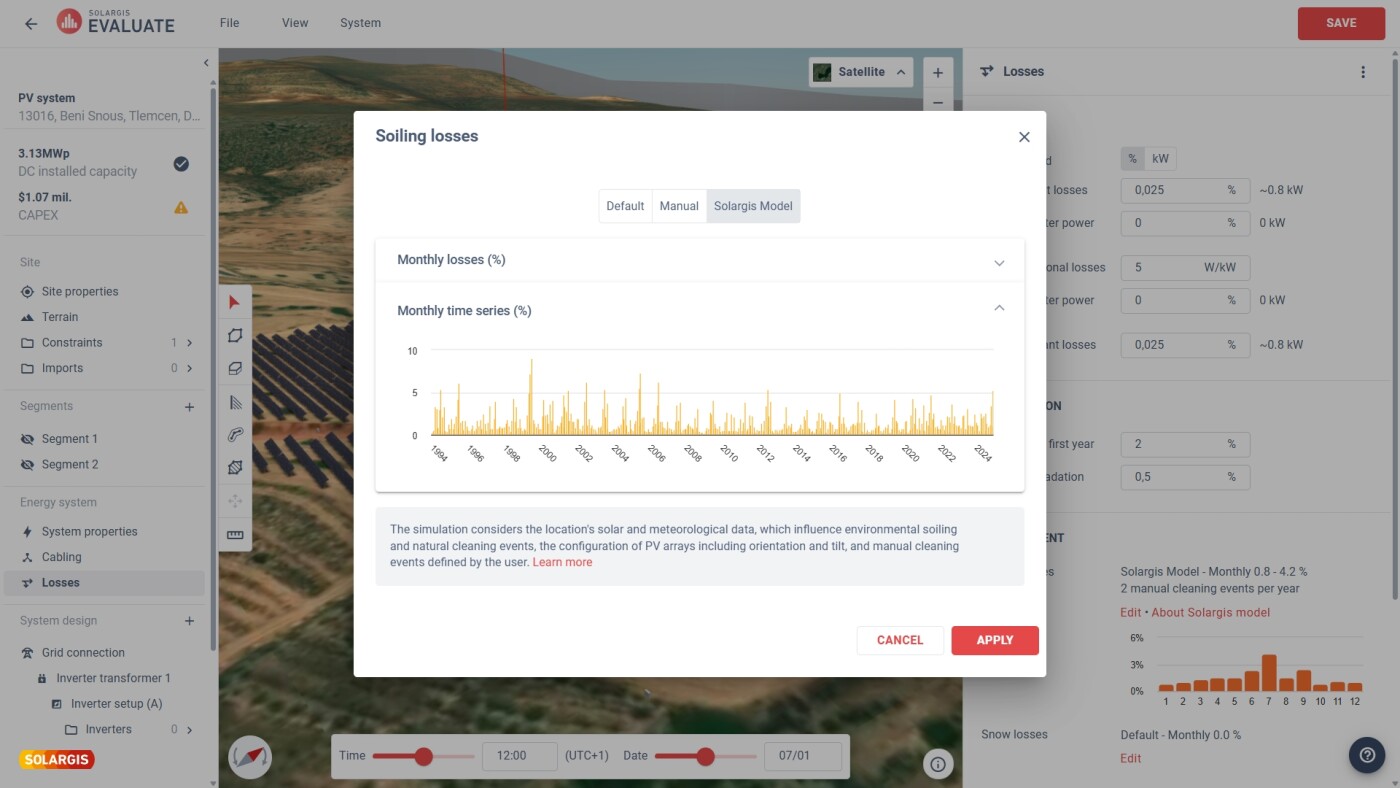
Snow and soiling losses are important factors to take into account. Whereas snow on PV modules can significantly reduce their energy production, rain can help to clean the modules, removing dust and dirt that may have accumulated on the surface. That’s why related meteorological parameters like snow water equivalent or precipitation rate are also covered by Evaluate data service (SDWE, PREC).

See all parameters ->

To identify extremely strong winds that may pose a risk to the structural integrity of the PV system, additional wind factors like wind direction and wind gusts are delivered together within Evaluate’s datasets (WD, WG).

See all parameters ->

Multi-year updated data periods#

Always get the full period of data available. This allows users of Evaluate work with a long period of data covering complete solar cycles to fully understand solar resource availability for your project sites.

The first satellite missions including operational remote-sensing devices for irradiance and weather modeling started back in 1994. This is important to calculate representative averages and be able to spot the probability of extreme weather events.

Sample reports and data ->

Sat data period retrieval

At the moment of data retrieval, Evaluate generates data files including the latest period of data. This means that users can be sure that they are working with the latest information available. On the other hand, continuously updating models ensures a long enough period of data to include climate anomalies.

Sample reports and data ->

Besides including the latest period available, every new data request benefits from the latest model improvements in accuracy.

Thanks to the fact that models use inputs that go back in time until 1994, there is enough data to calculate the expected interannual variability for the site conditions.

More about interannual variability ->

Interannual variability

Uncertainty estimates for P50, P90, or other probabilistic scenarios#

Understand how irradiance values can differ from PV plant's real conditions by obtaining expert uncertainty ranges to estimate less expected scenarios like P90, P99, or any other.

Solargis provides the most extensive validations done using publicly available data sources coming from high-quality, calibrated, and maintained pyranometers and pyrheliometers. Validation against ground sensors must be undergone to be able to estimate the performance of any irradiance model.

More about ground validation ->

Extensive ground validation

After identifying factors affecting model performance, Solargis’ team of experts can estimate the expected uncertainty for any site covered by the model. To fully understand the maximum range of deviation of the available solar resource for any particular site, Solargis model uncertainty will be then combined with other expected variability of climatic nature calculated after analysis of Time Series.

More about model uncertainty ->

Compatible with most popular energy simulators#

Use Evaluate’s solar resource datasets available in compact and friendly formats for any yield simulation or further data analysis required without needing to struggle with cleaning and restructuring the data. Streamline your data ingestion process using Solargis API access.

Evaluate files cover all the periods that have been registered by satellite imagery and it is delivered in CSV format, which can be easily read by most energy yield simulators.

Sample reports and data ->

Although the main and most complete datasets delivered under Evaluate service are the so-called Time Series, having the file compressed into 8760 values (one typical year in hourly time-step) is frequently requested.

Sample reports and data ->

TMY generation

Solargis Evaluate service can be also requested via API, allowing automated data collection processes and calculations inside other applications. This service includes the possibility of retrieving both historic and most recent data values.

Solargis Typical Meteorological Year API ->