Automate solar & weather data delivery into your applications
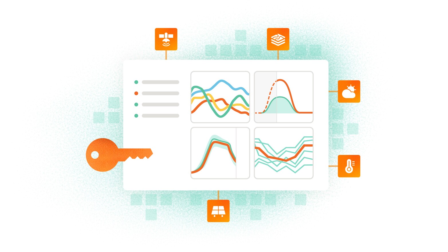
Solargis makes its data available to third-party applications via a wide range of API and SFTP integrations.
Get automated and continuous access to solar, meteo, and environmental parameters for feasibility analysis, solar resource assessment, performance evaluation, ground measurement benchmarking, PV production forecasts, and more.
Projects supported by our bankable solar & meteo data, software, and services every year
Years of experience with solar projects and improving industry standards
Coverage of the world’s population with 30 years of solar and meteorological data


